Island Ciovo
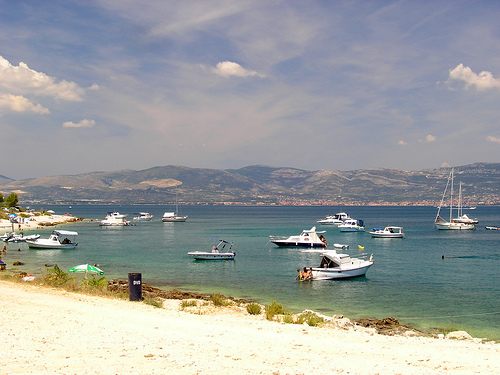
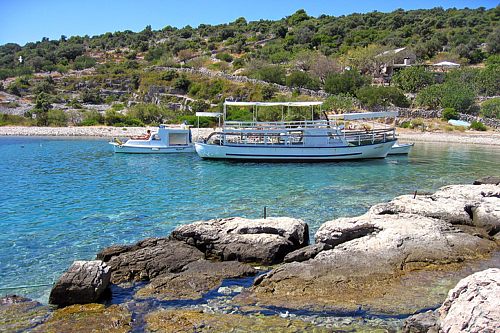
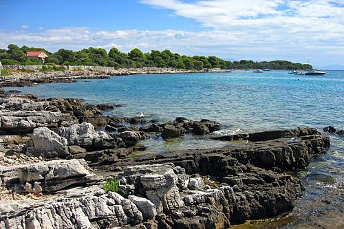
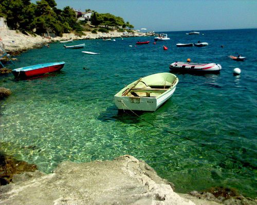
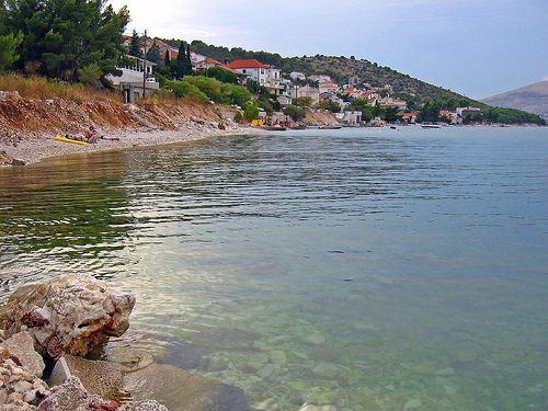
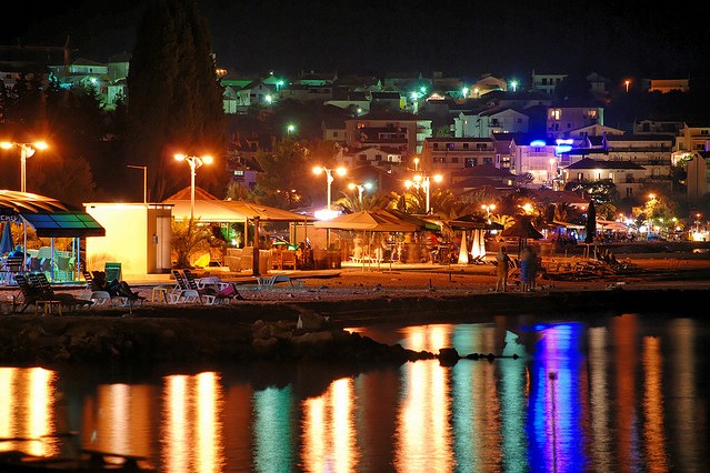
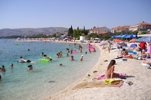
Island Ciovo is the central Dalmatian island; area 28.8 sq km (length 15.3 km, width up to 3.5 km); population 6,071; highest peak Rudine (218 m). In the east, Ciovo is about 2 km away from the mainland (Cape Marjan); in the north-west it is connected with the mainland by a bascule bridge (in Trogir). The island of Ciovo actually encloses the Kastela bay. Annual rainfall is about 900 mm. The southern side of the island is exposed to the sirocco, however it is protected from the bora, in contrast to the northern coast (protected from the sirocco but exposed to the bora). There are no surface water streams. Brackish water occurs in Slatine, Saldun and near Sveti Kriz. There are also several caves, the most prominent being Bilosaj and Anicina Jama (Annie's Pit). The vegetation is typically Mediterranean, consisting chiefly in underbrush (holm oak, myrtle, wormwood, juniper etc.), especially between Okrug Gornji and Okrug Donji. On the northern side of the island are forests of pine and cypress (particularly on the way from Trogir to Arbanija). Major crops include olives, figs, almonds, vines and citrus fruit. Apart from a part of the town of Trogir, there are several villages: Arbanija, Zedno, Okrug Gornji, Okrug Donji. On the western part of the island are sand and pebble beaches, the largest being those in the Saldun bay. Smaller coves include Duga, Tatinja and Movarstica. Along the south-western coast are several smaller islands which cliffs provide good opportunities for underwater fishing. On the eastern side of the island are smaller beaches, around Slatine and the Supetar Cove. Along with vacation opportunities, Ciovo also offers a number of tourist attractions and historical monuments. Additional visitor opportunities are provided in the nearby towns of Trogir and Split.
